| Folder No. | County Name City |
Scanning | TSR | Quadrangle | Lat/Long | Project | Dates | Miscellaneous | Range of sheets | No. of sheets |
Cabinet | Notes |
|---|---|---|---|---|---|---|---|---|---|---|---|---|
|
Sheet 1, No. 431
View |
Cheyenne
No city |
Scanned
(7 online) |
T. 2-3 S., R. 39 W. | Wheeler |
39.817004
-101.687257 |
EW 12000 VDRA | 10-3-1974 | Flights 1,2,3,4 | 1-98 to 101, 1-126 to 129, 1-143 to 146, 1-169 to 173 | 7 | 9 | (Wheeler) (MF #300) IBK |
Click on any thumbnail to view a larger photo.
|
GS-VDRA_1-99
39.858154 -101.668719 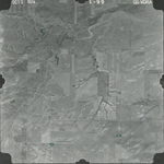
|
GS-VDRA_1-101
39.858264 -101.726774 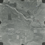
|
GS-VDRA_1-127
39.826186 -101.696641 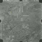
|
GS-VDRA_1-129
39.8292 -101.639563 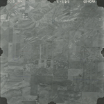
|
GS-VDRA_1-143
39.792922 -101.645524 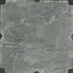
|
GS-VDRA_1-145
39.791695 -101.698478 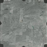
|
|
GS-VDRA_1-169
39.762609 -101.735098 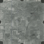
|