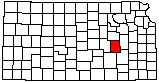
|
1
||
2
||
3
||
4
||
5
||
6
|
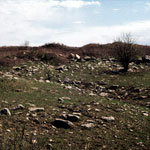
Limestone Quarry
|
Camp Wood
|
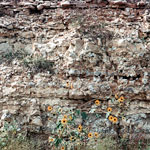
Chert in Florence Limestone
|
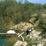
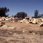
Limestone Quarry
|
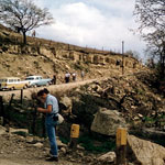
Limestone Quarry
|
Flint Hills Back Roads
|
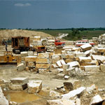
Limestone Quarry
|
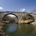
Clements Stone Arch Bridge
|
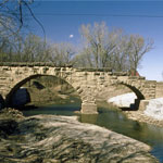
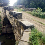
Diamond Creek Bridge
|
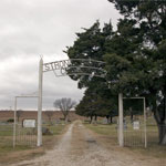
Strong City Cemetery
|
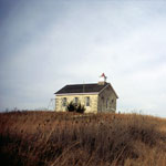
Lower Fox Creek School at Tallgrass Prairie National Preserve
|
Lower Fox Creek School at Tallgrass Prairie National Preserve
|
Flint Hills after Prairie Fire
|
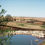
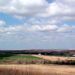
Chase County Pasture
|
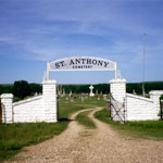
St. Anthony Cemetery
|
Diamond Creek Bridge
|
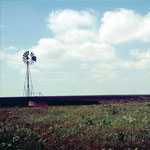
Windmill
|
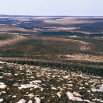
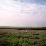
Flint Hills
|
|
1
||
2
||
3
||
4
||
5
||
6
|