|
1
||
2
||
3
||
4
||
5
||
6
|
Bazaar Cattle Pens
|
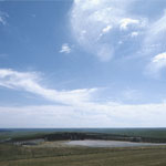
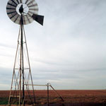
Windmill
|
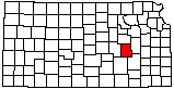
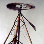
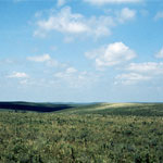
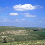
Flint Hills Open Range
|
Flint Hills Open Range
|
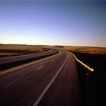
Interstate through the Flint Hills
|
Windmill
|
Cottonwood Falls
|
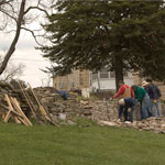
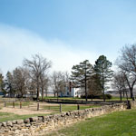
Rock Wall Restoration at the Tallgrass Prairie National Preserve
|
Flint Hills Wildflowers and Rimrock
|
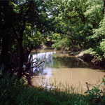
Fox Creek
|
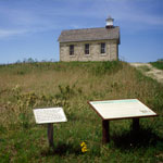
Lower Fox Creek School at Tallgrass Prairie National Preserve
|
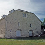
Limestone Barn at Tallgrass Prairie National Preserve
|
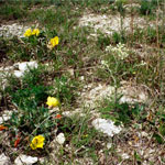
Prairie Primrose, Tallgrass Prairie National Preserve
|
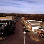
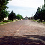
Cottonwood Falls Brick Street
|
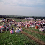
Symphony in the Flint Hills
|
Limestone Wall
|
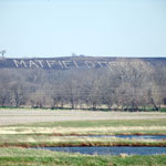
Limestone Matfield Green sign
|
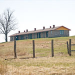
Santa Fe Railroad Worker Block House
|
|
1
||
2
||
3
||
4
||
5
||
6
|