|
1
||
2
||
3
||
4
||
5
||
6
|
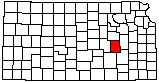
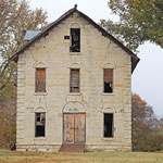
Clements Stone Arch Bridge
|
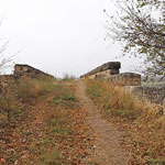
Clements Stone Arch Bridge and Cottonwood River
|
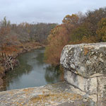
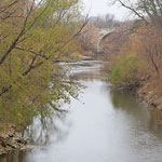
Cottonwood River
|
Clements Stone Arch Bridge
|
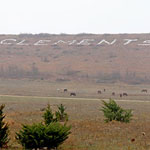
Clements Sign
|
Cottonwood River and Clements Stone Arch Bridge
|
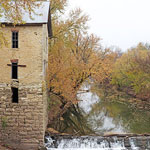
Cedar Point Mill and Dam
|
Cedar Point Mill
|
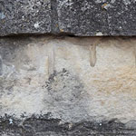
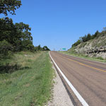
Highway 177 Roadcut, Strong City
|
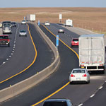
Bazaar Cattle Pens I-35 Overlook
|
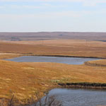
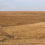
Flint Hills from the Bazaar Cattle Pens I-35 Overlook
|
Flint Hills from the Bazaar Cattle Pens I-35 Overlook
|
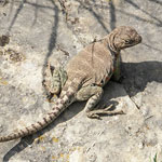
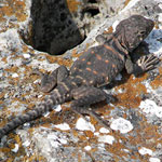
Collared Lizard at the Tallgrass Prairie National Preserve
|
Collared Lizard at the Tallgrass Prairie National Preserve
|
|
1
||
2
||
3
||
4
||
5
||
6
|