129 records returned. Select photo to view larger version.
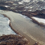
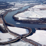
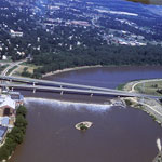
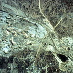
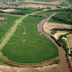
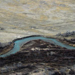
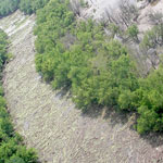
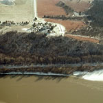 Cedar Crest and the Kansas River (Aerial)
 Cedar Crest and the Kansas River (Aerial)
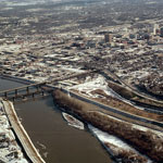
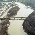
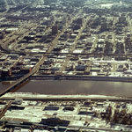
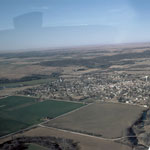
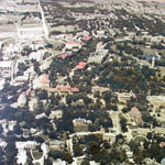
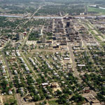
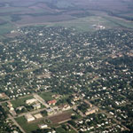
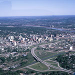 Downtown Topeka (Aerial)
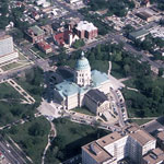 Kansas State Capitol (Aerial)
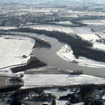
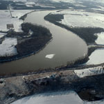
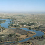
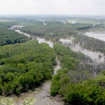
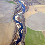
 Kansas River (Aerial)
 Kansas River at Eudora (Aerial)
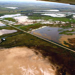
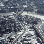 North Lawrence (Aerial)
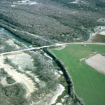
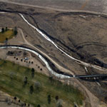
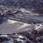 Kansas River Bridges and Bowersock Dam (Aerial)
 Delaware River and Lecompton on the Kansas River (Aerial)
 Kansas River Bridges (Aerial)
 Kansas River (Aerial)
 Wamego
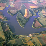
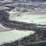
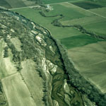
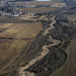
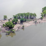
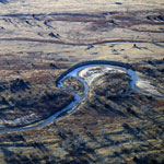
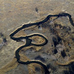
 Stranger Creek at Kansas River Bend (Aerial)
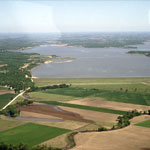
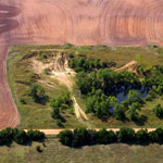
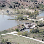
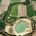
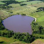
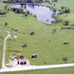
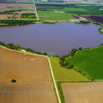
 Strowbridge Reservoir (Aerial)
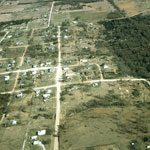
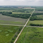
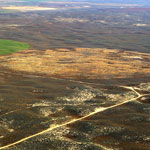
 Scranton (Aerial)
 Cuesta (Aerial)
 Abilene
 Union Pacific Railroad Passenger Depot (Aerial)
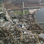
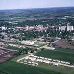
 Topeka (Aerial)
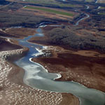
 Delaware River Entering the Kansas River (Aerial)
 Bowersock Dam (Aerial)
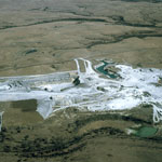
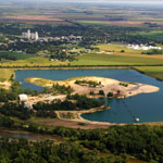
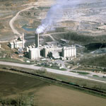 Kansas City Cement Plant (Aerial)
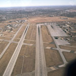 McConnell Air Force Base
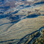
 Braided Arkansas River (Aerial)
 Cedar Vale (Aerial)
 Caney River (Aerial)
 Kansas Highway 99 (Aerial)
 Kansas Highway 99 and US 166 (Aerial)
 Chautauqua Springs (Aerial)
 Elgin (Aerial)
 Elgin (Aerial)
 Caney River (Aerial)
 Rock Quarry (Aerial)
 Cedar Vale (Aerial)
 Rock Quarry (Aerial)
 Confluence of Little Arkansas and Arkansas River (Aerial)
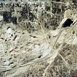
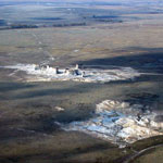
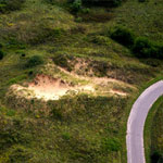
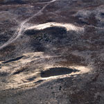
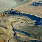
 Abandoned Mine Spoils (Aerial)
 Mount Oread (Aerial)
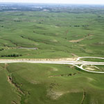
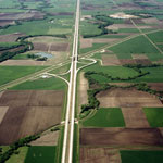 Interstate 70 Overpass Over Interstate 135 (Aerial)
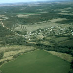
 Lindsborg (Aerial)
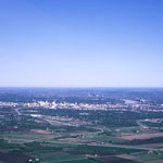
 Topeka (Aerial)
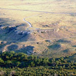
 Little Pyramids (Aerial)
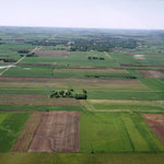
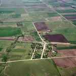
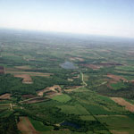
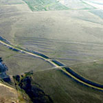
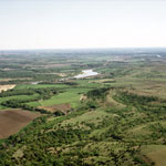 Kansas River Valley (Aerial)
 Perry Lake (Aerial)
 Keystone Gallery
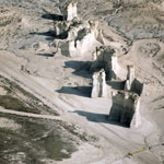
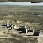
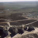
 Monument Rocks (Aerial)
 Monument Rocks (Aerial)
 Big Basin Prairie Preserve (Aerial)
 Monument Rocks (Aerial)
 Monument Rocks (Aerial)
 Lake Scott State Park (Aerial)
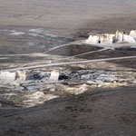
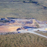
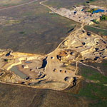
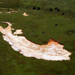
 Open Mines, Asphalt Lake (Aerial)
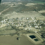
 Carneiro (Aerial)
 Ottawa University (Aerial)
 Monument Rocks (Aerial)
 Flint Hills National Wildlife Refuge (Aerial)
 Lone Star Lake (Aerial)
 Abandoned Smoky Hill River Meander (Aerial)
 Monument Rocks (Aerial)
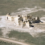 Monument Rocks (Aerial)
 Niobrara Chalk Formations (Aerial)
 Sand Hills State Park (Aerial)
 Abandoned Sand Pit (Aerial)
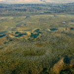
 Quivira National Wildlife Refuge (Aerial)
 Soule Canal (Soule's Folly) and Santa Fe Trail Ruts (Aerial)
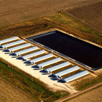
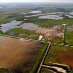
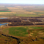 Feedlot and Lagoons (Aerial)
 White Rock Creek at Upper End of Lovewell Reservoir (Aerial)
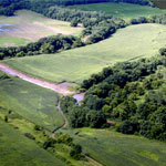 Floodwater Cutoff Meander at Stranger Creek (Aerial)
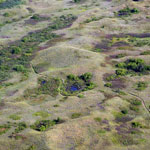
 Oxbow Lake on Rattlesnake Creek (Aerial)
 Sand Pit
 Soule Canal and Santa Fe Trail Ruts (Aerial)
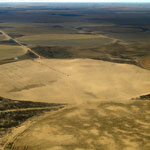
 Stabilized Dunes (Aerial)
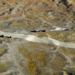 Pipeline Scar in Sand Hills (Aerial)
 Blown Sand in Field (Aerial)
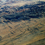
 Relic Braided Channel Bars Along Arkansas River (Aerial)
 Point of Rocks and Cimarron River (Aerial)
 Lake Scott Dam (Aerial)
 Monument Rocks (Aerial)
 Monument Rocks (Aerial)
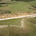 Florence Limestone Overlain by Fort Riley Limestone (Aerial)
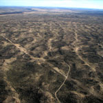
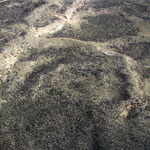
 Flint Hills Pasture (Aerial)
 Sand Dredging Along the Smoky Hill River (Aerial)
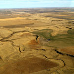
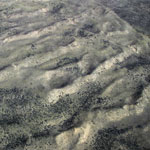
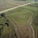 Eastern Edge of the Flint Hills (Aerial)
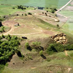 Coronado Heights (Aerial)
 Ogallala Formation Caliche Pit
 Old Center Pivot Irrigation Field in the Sand Hills (Aerial)
 Dry Arkansas River (Aerial)
 Dune Ridges (Aerial)
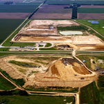 Reno County Landfill (Aerial)
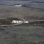
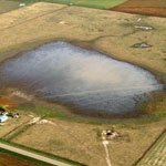
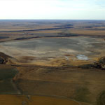
 Dry Lake (Aerial)
 Amazon Canal (Aerial)
 Receded Lake Level at Lovewell Reservoir (Aerial)
 Floodwater Cutoff Meander on Stranger Creek (Aerial)
 Water-Filled Sinkhole (Aerial)
 Rain-Filled Playa (Aerial)
 Upper Rattlesnake Creek (Aerial)
 John Redmond Reservoir (Aerial)
 Blown Out Sand Dune (Aerial)
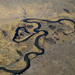
 Meander Bend on Rattlesnake Creek (Aerial)
 Relic Braided Channel Bars Along Arkansas River (Aerial)
 Cattle Disturbances in Sand Hills (Aerial)
 Cutback Bank Along Arkansas River (Aerial)
 Dunes (Aerial)
 Meander Bend Cut-Off Along Rattlesnake Creek (Aerial)
 Dunes (Aerial)
 Amazon Canal (Aerial)
 Contained Feeding Operation and Lagoon (Aerial)
 Sand Pit in Sand Hills (Aerial)
 Dry Lake McKinney (Aerial)
 Active Sand Dune (Aerial)
 Waterhole and Sand Dune (Aerial)
 Republican River (Aerial)
 Neosho River (Aerial)
 Neosho River (Aerial)
 Neosho River (Aerial)
 Oil Field and Pond (Aerial)
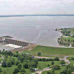 John Redmond Reservoir and Dam (Aerial)
 Quivira National Wildlife Refuge (Aerial)
 Lake Inman (Aerial)
 Ninnescah Shale in Light Gray Siltstone Bed (Aerial)
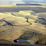
 Meander Tributary to Arkansas River (Aerial)
 Republican River (Aerial)
 Dry Lake (Aerial)
 Amazon Canal (Aerial)
 Cattle Disturbances Along Fence Line
 Dune Ridges (Aerial)
 Parabolic Dune Ridge (Aerial)
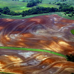 Ninnescah Shale in Contoured Field (Aerial)
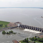 John Redmond Reservoir and Dam (Aerial)
Kansas Geological Survey · 1930 Constant Ave. · Lawrence, KS 66047-3724
785-864-3965 · Comments to webadmin@kgs.ku.edu
Updated April 2018
Website Terms of Use
Log In
