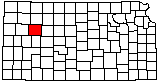
|
1
||
2
||
3
||
4
||
5
||
6
||
7
||
8
||
9
||
10
|
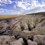
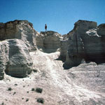
Eroded Chalk Bluffs
|
Collapsed Chalk Monument
|
Chalk Collapse at Monument Rocks
|
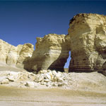
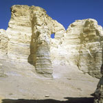
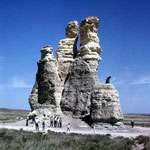
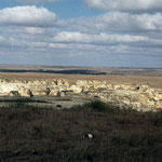
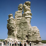
Monument Rocks
|
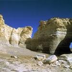
Monument Rocks
|
Base of Sphinx after Collapse
|
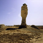
The Sphinx (1983)
|
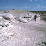
Pearlette Ash Outcrop
|
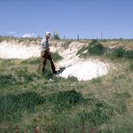
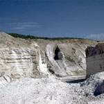
Pearlette Ash Pit
|
Chalk Bluffs South of Castle Rock
|
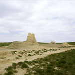
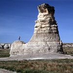
Castle Rock
|
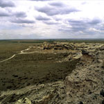
Fault in Chalk Formation
|
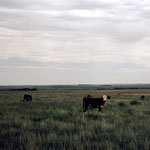
Grazing Cattle
|
Quarried Ash Bed
|
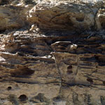
Chalk Bluffs
|
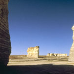
Monument Rocks
|
Castle Rock—Northeast Side
|
Castle Rock (1965)
|
|
1
||
2
||
3
||
4
||
5
||
6
||
7
||
8
||
9
||
10
|