|
1
||
2
||
3
||
4
||
5
||
6
||
7
||
8
||
9
||
10
|
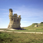
Castle Rock Before 2001 Collapse
|
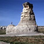
Castle Rock—South Side
|
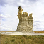
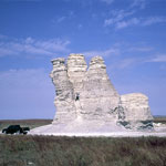
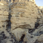
Castle Rock
|
Castle Rock Before 2001 Collapse
|
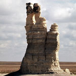
Castle Rock—Northeast Side
|
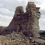
Castle Rock—South Side (1970)
|
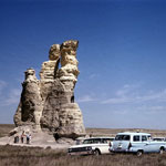
Castle Rock—Northwest Side (1970)
|
Castle Rock
|
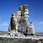
Castle Rock (1963)
|
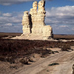
Castle Rock (2001)
|
Castle Rock—South Side (1970)
|
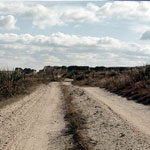
Castle Rock Road
|
Castle Rock
|
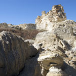
Collapsed Chalk Near Castle Rock (2008)
|
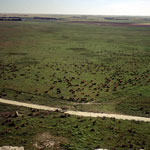
Cattle Herd Below Chalk Bluffs
|
Niobrara Chalk Near Castle Rock
|
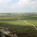
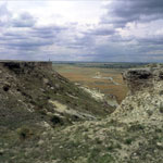
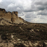
Chalk Bluff, Castle Rock in Distance
|
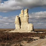
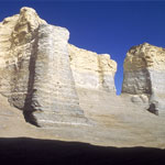
Monument Rocks
|
|
1
||
2
||
3
||
4
||
5
||
6
||
7
||
8
||
9
||
10
|