|
1
||
2
||
3
||
4
||
5
||
6
||
7
||
8
||
9
||
10
|
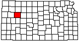
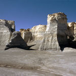
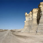
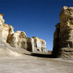
Monument Rocks
|
Spalled Chalk Outcrop Near Castle Rock
|
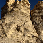
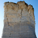
Castle Rock
|
Monument Rocks
|
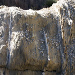
Fractures in Chalk Formations at Monument Rocks
|
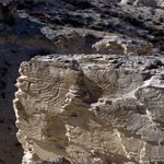
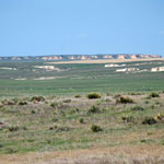
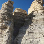
Chalk Bluffs and Outcrops
|
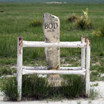
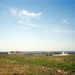
Butterfield Overland Dispatch Trailmarker
|
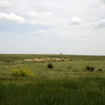
Pumpjack and Prince's Plume
|
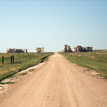
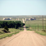
Seismic Explorations at Monument Rocks
|
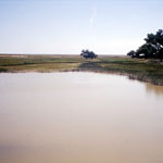
Smoky Hill River
|
Chalk Beds Near Castle Rock
|
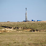
Drill Rig Near Monument Rocks
|
Monument Rocks
|
Monument Rocks
|
Fossils in Niobrara Chalk
|
Monument Rocks
|
Castle Rock
|
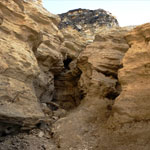
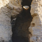
Cave Hollowed in Niobrara Chalk
|
|
1
||
2
||
3
||
4
||
5
||
6
||
7
||
8
||
9
||
10
|