|
1
||
2
||
3
||
4
||
5
||
6
||
7
||
8
||
9
||
10
|
Cobra Rock (1970)
|
Chalk Bluffs South of Castle Rock
|
Castle Rock (1983)
|
Chalk Bluffs Near Castle Rock
|
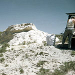
Pearlette Ash Pit
|
Fault in Niobrara Chalk
|
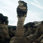
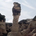
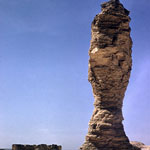
Cobra Rock
|
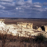
Chalk Outcrops Near Castle Rock
|
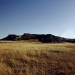
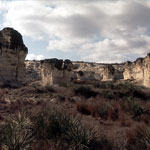
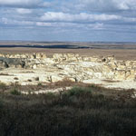
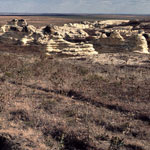
Niobrara Chalk Badlands
|
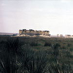
Castle Rock (1970)

|
Castle Rock—South Side (1970)
|
Niobrara Chalk Badlands
|
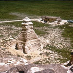
The Sphinx
|
Niobrara Chalk Exposures
|
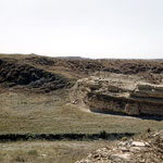
Faulted Area in Chalk Exposure
|
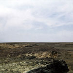
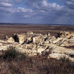
Niobrara Chalk Bluffs
|
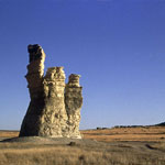
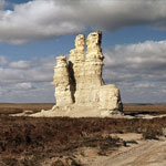
Monument Rocks
|
Pagoda Rock (1965)
|
|
1
||
2
||
3
||
4
||
5
||
6
||
7
||
8
||
9
||
10
|