|
1
||
2
||
3
||
4
||
5
||
6
||
7
||
8
||
9
||
10
|
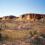
Niobrara Chalk Outcrops
|
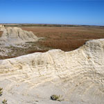
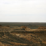
Niobrara Chalk Badlands
|
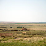
Cattle Graze Around Chalk Outcrops
|
Chalk and Shale Formations
|
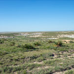
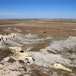
Eroded Chalk Formations
|
Niobrara Formation Below Ogallala Outcrop
|
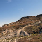
Ogallala Bluff Over Niobrara Chalk Formation
|
Chalk Outcrops Near Castle Rock
|
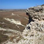
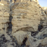
Weathered Chalk Outcrop
|
Niobrara Chalk Fossil Beds
|
Niobrara Chalk Outcrops
|
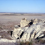
Chalk Bluff, Castle Rock in Distance
|
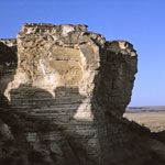
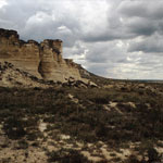
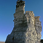
Castle Rock
|
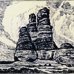
"The Prairie Castle" Lithograph by Birger Sandzen
|
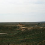
View of Wildcat Canyon from Castle Rock
|
Niobrara Chalk Near Castle Rock
|
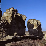
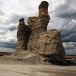
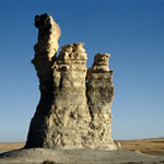
Castle Rock
|
Castle Rock
|
|
1
||
2
||
3
||
4
||
5
||
6
||
7
||
8
||
9
||
10
|