121 records returned. Select photo to view larger version.
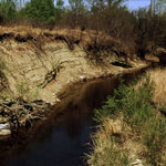
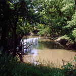
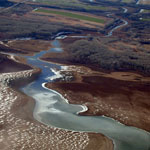
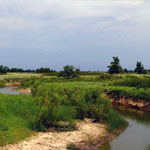
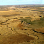
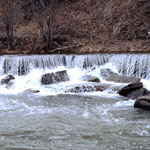
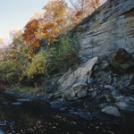
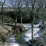 Paradise Creek
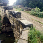
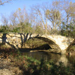
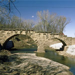
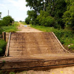
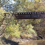
 Covered Bridge Over Stranger Creek
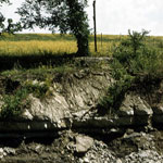
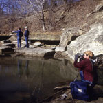
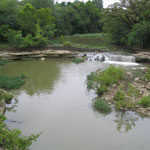
 Salt Creek Near Geuda Springs Sanitarium
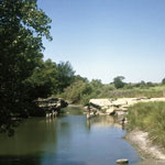
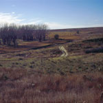
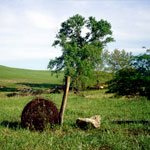
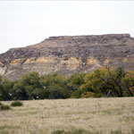
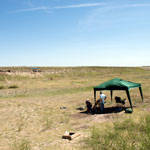
 Camp Wood
 Salt Creek Near Geuda Springs Sanitarium
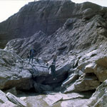
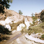
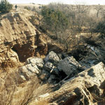
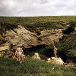
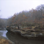
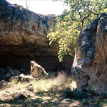
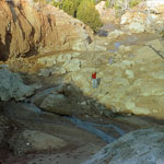
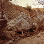
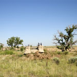
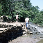
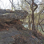
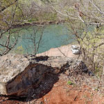
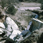 Collapsed Natural Bridge
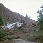 Collapsed Natural Bridge
 Collapsed Natural Bridge
 Collapsed Natural Bridge
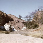
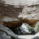
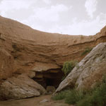 Natural Bridge
 Natural Bridge
 Collapsed Natural Bridge
 Collapsed Natural Bridge
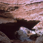
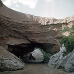
 Natural Bridge
 Natural Bridge
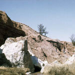
 Hole in the Rock, Ireland Sandstone
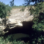
 Collapsed Natural Bridge
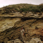
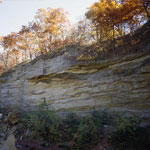
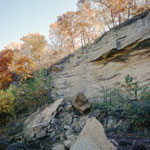
 Day Creek Dolomite Outcrop
 Shop Creek
 Shop Creek
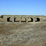
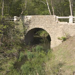
 Keiger Creek Bridge
 Salt Creek Near Geuda Springs Sanitarium
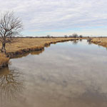
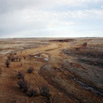
 Bear Creek on the High Plains
 Gypsum Creek
 Slump Folds in Shale
 Independence Creek at the Lewis and Clark Historic Site
 Dakota Formation Sandstone
 Keiger Creek, West of Ashland
 Red Eagle Limestone
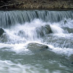
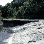
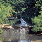
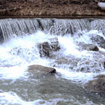
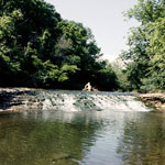
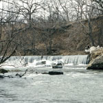
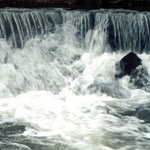
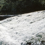
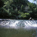 Buck Creek Falls
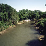
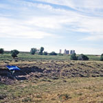
 Stranger Creek
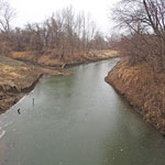
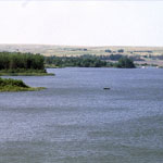 Keith Sebelius Lake
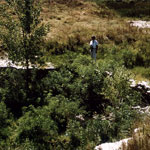
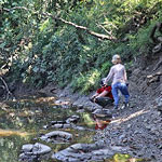
 Deep Creek Below Pillsbury Crossing
 Mill Creek
 Burntwood Creek Rock Shelter
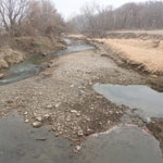
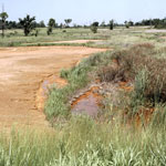 Contaminated Streambeds
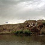
 Middle Beaver Creek Excavation Site #6
 Beaver Creek Excavation Site #1
 Diamond Creek Bridge
 Collapsed Natural Bridge
 Collapsed Natural Bridge
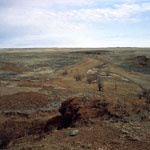
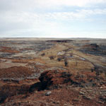
 Red Hills
 Fossilized Wood in Outcrop
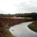
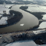 Kansas River (Aerial)
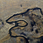
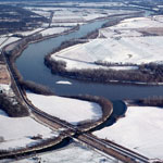 Stranger Creek at Kansas River Bend (Aerial)
 Geoarchaeological Excavation in Creek Bank
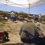
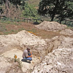
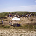
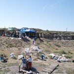
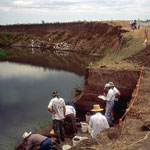 Excavation of 11,000-Year-Old Campsite
 Excavation of 11,000-Year-Old Campsite
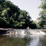
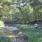
 Pillsbury Crossing
 Excavation Near Rock Shelter on Burntwood Creek
 Dig Site Along Middle Beaver Creek
 Middle Beaver Creek Excavation Site
 Stone Bridge
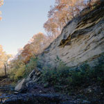
 Echo Cliff
 Excavation Along Burntwood Creek
 Dig Site at Beaver Creek
 Middle Beaver Creek Near Kanorado
 Back Road to Site of Kidder Fight (Kidder Massacre)
 Fox Creek
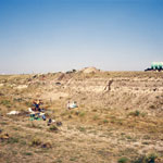
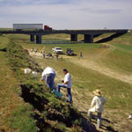
 Excavation Site Below Interstate 70
 Diamond Creek Bridge
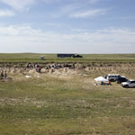
 Chase County Pasture
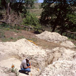
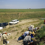
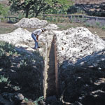
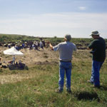
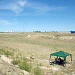
 Geoarchaeology Dig
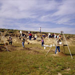
 Beaver Creek Excavation Site
 Beaver Creek Excavation Site
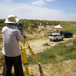 Laser Survey at Beaver Creek Excavations
 Excavations Along Beaver Creek
 Independence Creek at the Lewis and Clark Historic Site
 Dig Site Near Burntwood Creek
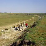
 Excavation Along Middle Beaver Creek
 Stone Arch Bridge
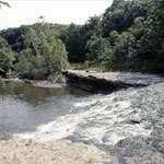
 Buck Creek Falls
 Buck Creek Falls
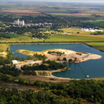 Sand Pit
 Red Rock Creek Bridge Collapse
 White Rock Creek at Upper End of Lovewell Reservoir (Aerial)
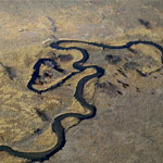
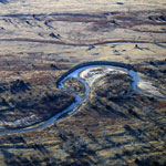
 Floodwater Cutoff Meander at Stranger Creek (Aerial)
 Oxbow Lake on Rattlesnake Creek (Aerial)
 View over Keiger Creek
 Echo Cliff
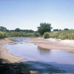
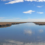
 Rattlesnake Creek
 Floodwater Cutoff Meander on Stranger Creek (Aerial)
 Beaver Creek Excavation Site
 Waterfall, Atchison County
 Chicken Creek Bridge
 Elk Falls
 Excavation Site on Beaver Creek
 Road to Skyline Mill Creek Drive from Kansas Highway 99
 Collapsed Elmont Limestone Shelf at Pillsbury Crossing
 Ogallala Cap on Niobrara Chalk
 Buck Creek Falls
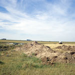
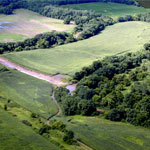
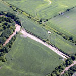
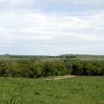
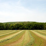 Cut Hay Field
 Keiger Creek
 Excavation Site #6 on Beaver Creek
 Bear Creek Excavation Site
 Dakota Sandstone Over Hell Creek
 Eroded Greenhorn Limestone and Graneros Shale
 Upper Rattlesnake Creek (Aerial)
 WPA Dam Fragment Near Bear Creek
 Spalled Indian Cave Sandstone at Echo Cliff
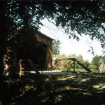
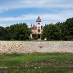 Lebold Mansion on Mud Creek, Abilene
 Meander Bend on Rattlesnake Creek (Aerial)
 Meander Bend Cut-Off Along Rattlesnake Creek (Aerial)
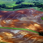 Ninnescah Shale in Contoured Field (Aerial)
 Pillsbury Crossing
 Pillsbury Crossing
 Igneous Glacial Drift
 Beaver Creek Excavation Site
 Pillsbury Crossing
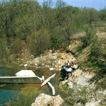
 Rinsing Buried Soils at Excavation Site
 Staircase Falls on Buck Creek
 Buck Creek Falls
 Buck Creek Falls
 Echo Cliff
 Beaver Creek Excavation Site
 Walnut Creek Near Fort Zarah
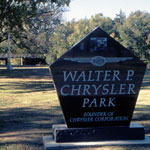 Walter P. Chrysler Park
 Schermerhorn Park
 Schermerhorn Park
 Lightning Creek
 Concretions in Lightning Creek
Kansas Geological Survey · 1930 Constant Ave. · Lawrence, KS 66047-3724
785-864-3965 · Comments to webadmin@kgs.ku.edu
Updated April 2018
Website Terms of Use
Log In
