|
1
||
2
||
3
||
4
||
5
||
6
||
7
||
8
||
9
||
10
|
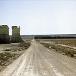
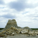
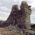
Castle Rock
|
Smoky Hill River from Monument Rocks
|
Castle Rock—North Side (2001)
|
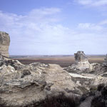
Around Cobra Rock Base
|
Collapsed Sphinx at Monument Rocks
|
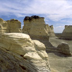
Monument Rocks
|
Monument Rocks
|
Castle Rock (1997)
|
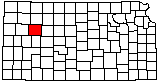
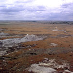
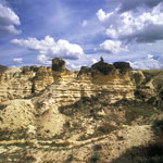
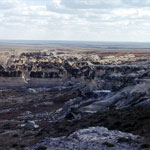
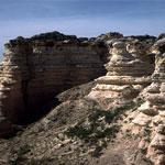
Chalk Badlands
|
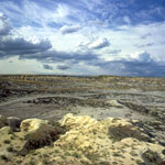
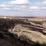
Chalk Bluff
|
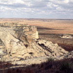
Castle Rock
|
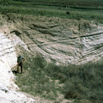
Pearlette Ash Outcrop
|
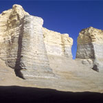
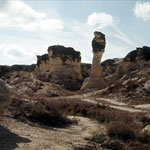
Chalk Monuments Near Castle Rock
|
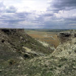
Chalk Bluffs Above Road to Castle Rock (1970)
|
View North to Castle Rock
|
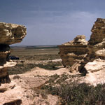
Chalk Outcrops
|
Cobra Rock (1970)
|
Chalk Outcrops
|
|
1
||
2
||
3
||
4
||
5
||
6
||
7
||
8
||
9
||
10
|