80 records returned. Select photo to view larger version.
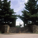
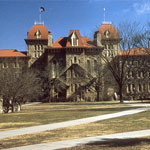
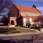
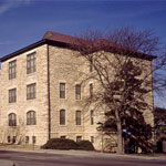
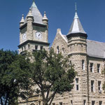
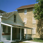 Palmyra Post Office and Old Castle Hall
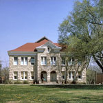
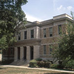 Case Hall at Baker University
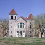
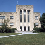
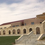
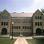 Memorial Hall at Baker University
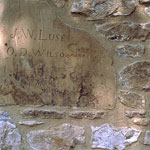 Graffiti on Old Castle Hall
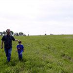
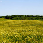
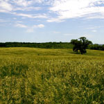
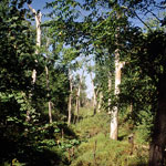 Baker Wetlands
 Baker Wetlands
 Baker Wetlands
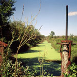
 Natural Gas Scenting Station
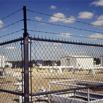
 Sports Stadium
 Santa Fe Trail Ruts
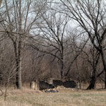 Territorial Fortress near Blanton's Bridge
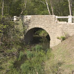 Chicken Creek Bridge
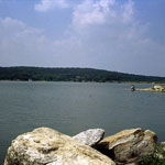
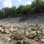
 Clinton Lake Dam
 Douglas State Fishing Lake
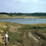 Douglas State Fishing Lake
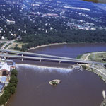
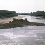
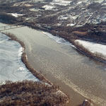
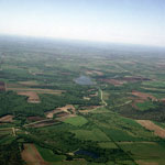
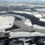 Kansas River at Eudora (Aerial)
 Tecumseh Hall
 Hiawatha Hall
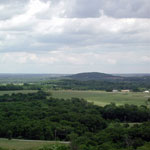 Blue Mound
 Blue Mound
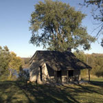
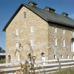 Historic Barn
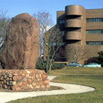
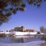 Kansas Geological Survey
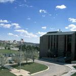 Kansas Geological Survey
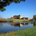 Kansas Geological Survey
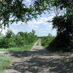
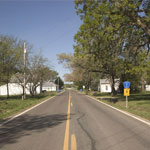
 Riverfront Road between Lecompton and Lawrence
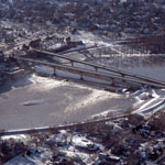 Kansas River Bridges and Bowersock Dam (Aerial)
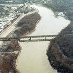 Kansas River Bridges (Aerial)
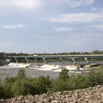
 Bowersock Dam (Aerial)
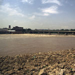
 Bowersock Dam
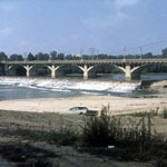 Old Kansas River Bridge
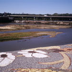
 1993 Kansas River Flood
 1993 Kansas River Flood
 Kansas River Levee
 Kansas River
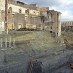 Hoch Auditorium Excavation
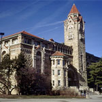
 Old Fraser Hall
 Lindley Hall
 Hall Center for the Humanities
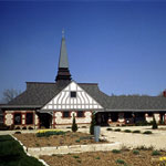
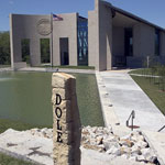 Dole Institute of Politics
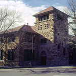
 Spooner Hall
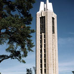 Memorial Campanile and Carillon
 Hoch Auditorium Excavation
 Bailey Hall
 Dyche Hall
 Stauffer-Flint Hall
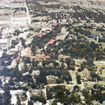 Mount Oread (Aerial)
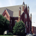 Plymouth Congregational Church
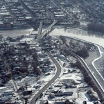 North Lawrence (Aerial)
 Union Pacific Railroad Passenger Depot
 Douglas County Courthouse
 Shunganunga Boulder (Founder's Rock) and Lawrence City Hall
 Territorial Kansas Democratic Headquarters
 Delaware River and Lecompton on the Kansas River (Aerial)
 Town of Lone Star
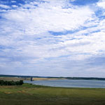
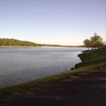
 Lone Star Lake (Aerial)
 Lone Star Lake
 Lone Star Lake Spillway
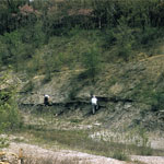
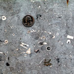
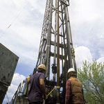 Independent Drill Crew
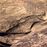
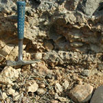 Glacial Till Congomerate
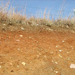 Pleistocene Deposits
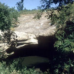 Hole in the Rock, Ireland Sandstone
 Oread Limestone
 Hole in the Rock, Ireland Sandstone
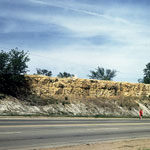
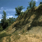
 Wakarusa Valley Escarpment
 Newman Terrace Gravels
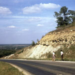
 Highway 59 Road Construction
 Dunes over Glacial Drift
 Dunes over Glacial Drift
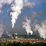 Lawrence Energy Center
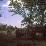 Prairie City Town Site
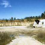 Quarry near Lecompton
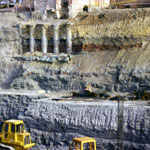
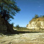 Limestone Quarry
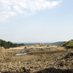
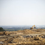
 Gravel Pit
 Highway 59 Road Construction
 Highway 59 Road Construction
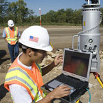 LIDAR Scanning
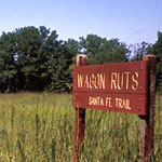 Santa Fe Trail Ruts
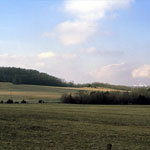
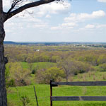 Spring View of Wakarusa Valley from Signal Oak
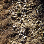
 Fossiliferous Americus Limestone
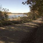
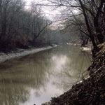 Wakarusa River
Kansas Geological Survey · 1930 Constant Ave. · Lawrence, KS 66047-3724
785-864-3965 · Comments to webadmin@kgs.ku.edu
Updated April 2018
Website Terms of Use
Log In
